Flying to the Top of Shanghai丨D2000S Participated in the Construction of a Large-Scale Real-Life 3D Model
With the advancement of the construction of real-life three-dimensional China and the rapid development of AI technology, policies, regulations, technical specifications and other documents surrounding the construction of real-life three-dimensional China have been released one after another in recent years. In July 2023, the Ministry of Natural Resources issued the "Overall Implementation Plan for the Construction of Real-life 3D China (2022-2025)" document stating that real-life 3D is a real, three-dimensional and time-series spatial and temporal information that reflects human production, life and ecological space. It is an important new infrastructure for the country and will greatly promote the transformation and upgrading of digital cities into smart cities.

Scholar Sky is the first project model to make technological breakthroughs in the field of real-life 3D reconstruction. It was jointly developed by the Shanghai Artificial Intelligence Laboratory, the Chinese University of Hong Kong and the Shanghai Institute of Surveying and Mapping. It currently has hundreds of billions of parameters. This model has achieved great results in image quality. A breakthrough was achieved, 4K resolution offline rendering was achieved, and at the same time, city-level NeRF was achieved for the first time with 1K resolution and 30 frames real-time rendering in a full range of 100 square kilometers. Scholar·Tianji uses a small amount of oblique photographic images to achieve real-life 3D modeling of large-scale scenes. Compared with traditional modeling methods, the efficiency is significantly improved and is expected to save considerable manpower and resources for urban digital twins.
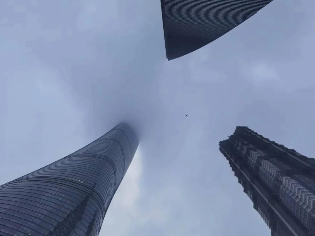
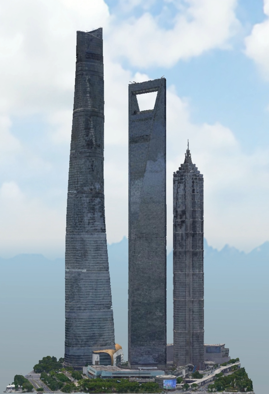
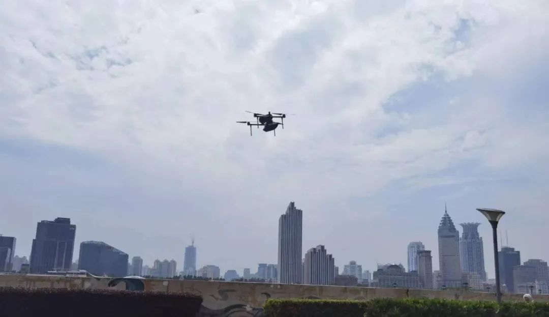
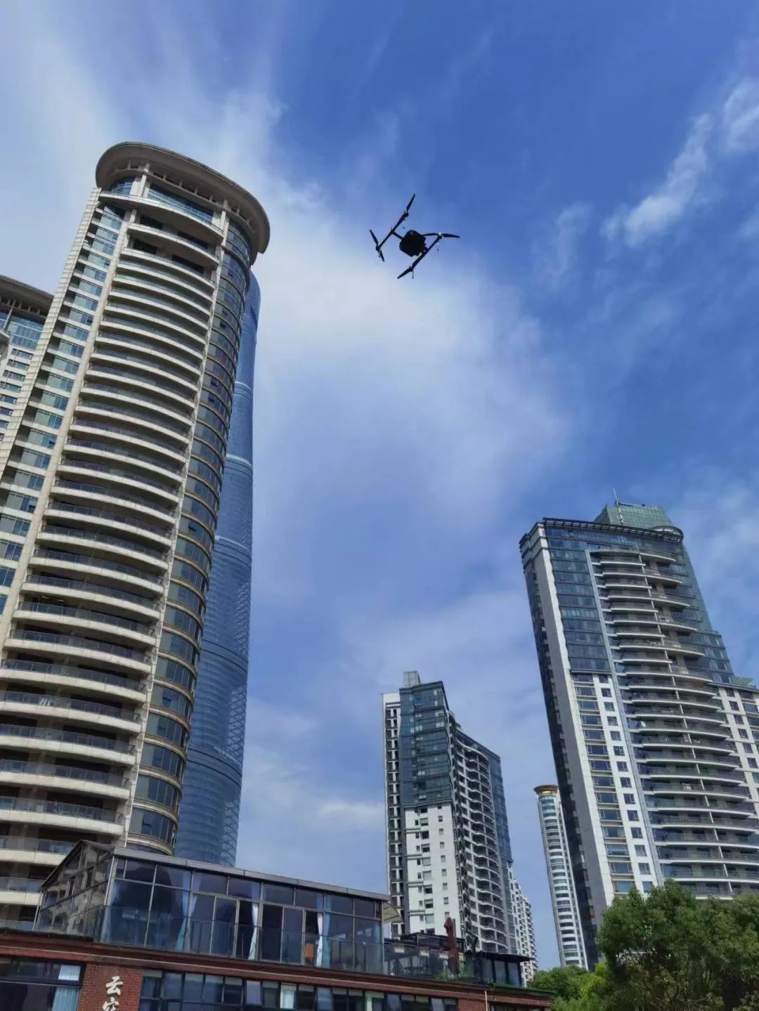
In the Scholar Sky Project, Jingyao (Shanghai) Information Technology Co., Ltd. used the Pegasus D2000S drone to mount the D-OP4000 oblique photography module and the D-CAM3000 aerial survey module at the Shanghai Center, a landmark building in Shanghai’s Lujiazui Financial and Trade Zone. The building (total height 632 meters), Shanghai World Financial Center (total height 492 meters), Jin Mao Tower (total height 420.5 meters) and China Art Palace carried out oblique photogrammetry and close photogrammetry to obtain basic data for constructing real-life three-dimensional large models .

High-precision geometric texture information of ground buildings and terrain can be obtained through oblique photography. During the project implementation, since the target survey area is located in the central city of Shanghai, there are many high-rise buildings and large building height differences, especially the "three-piece suite" in Shanghai. They are all super high-rise buildings, among which the Shanghai Tower, known as "China's tallest building", has a total height of 632 meters. Acquiring images of surrounding and background environmental materials under these conditions poses a great challenge to both drones and operators. In response to the actual environment of the testing area, Jingyao (Shanghai) Information Technology Co., Ltd. overcame the difficulties and formulated various emergency plans in a comprehensive and detailed manner, striving to accurately control the interference of buildings, wind ducts, building heights and urban magnetic fields to ensure smooth progress.

In terms of load selection, both D-OP4000 and D-CAM3000 can use contour routes to obtain high-resolution image data in environments with large height differences, and the D-OP4000 oblique photography module has high-quality side texture collection and high efficiency. The operation capability can simultaneously ensure the model quality and data accuracy of super high-rise buildings and low-rise buildings between high-rise buildings. During the flight operation, the D2000S flew over 632 meters and showed extremely high stability and safety. It successfully completed the image data collection task and provided important data support for the construction of a large three-dimensional model of the city's real scene.
Real-life 3D technology plays an increasingly important role in national construction and has broad room for development. The application of real-life 3D technology will bring revolutionary changes and breakthroughs in the fields of urban planning, architectural design, transportation, environmental protection and other fields. Foxtech Robot actively invests in research and development and is committed to providing users with more efficient, accurate, and reliable products and technologies in real-life 3D to meet changing market demands and inject new impetus into economic and social development.
- Revolutionizing High-Rise Cleaning with Advanced Drone Technology
- Drone exterior wall cleaning technology: a revolutionary advancement in building cleaning
- Based on Reinforcement Learning, the Bipedal Robot P1 Walks in the Wild
- Photovoltaic Cleaning Solutions, Using Flexible Robots to Assist in the Intelligent Operation and Maintenance
- T50 The flexible aerial tethered cleaning system makes high-altitude cleaning safer and more efficient


